You see, Stewart Island is home to one of NZ's Great Walks, the Rakiura Track, and it's billed as a 3-day tramp. For these multi-day walks, you can kinda do a rough conversion where the recommended number of days if you're walking is about the right number of hours if you're running.
The Rakiura Track isn't even Stewart Island's longest or best-known track. The North West Circuit and Southern Circuit Tracks are WAY longer and carry the notoriety of circumnavigating a huge chunk of the entire island. The North West Circuit Track is billed as a 9-11-day hike over 125km, which, with our aforementioned rough conversion, might suck to run. The Southern Circuit Track is shorter at 71km (4-6 days), but both of them are pretty explicitly backcountry tracks with higher probability of things going pear-shaped.
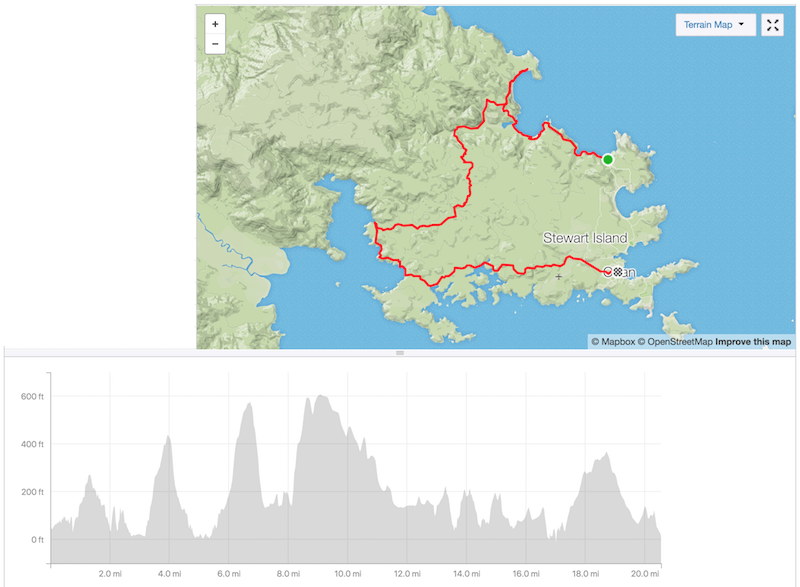
Rakiura Track profile; not that bad, but enough
So the Rakiura Track is a lot less to bite off, and is relatively well-maintained due to its Great Walk status, and considering that I've come here without any specific distance running gear, much less proper backcountry route-finding and survival gear, seems to be the right call. By "without any specific gear," I mean ANYTHING except for decent trail shoes and a rain jacket. The worrywarts among you will be horrified to think about starting a remote 35ish-kilometer run without any water, no contingency gear, and a whopping half a granola bar, but it's certainly not the dumbest thing I've ever done.
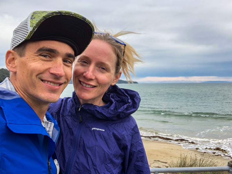
Sendoff
Manfred's son Raki (yes, for Rakiura) is kind enough, along with his visiting brother Julius and Ethel, to deposit me at the Lee Bay end of the point-to-point track. Ethel gets a swift smack on the ass and I disappear into the unknown. Don't worry: I won't be burdening you with a km-by-km recounting of the track, but at a high level, it's a stunning ribbon of NZ to see, and I will say a bit about each major section.
I feel compelled to point out that much of it is perma-mud, which is just kinda something that happens in places where it rains shitloads and there's nowhere for the water to go and the sun never shines. I also gather that running it is not too common, at least based on the bemused observations of the well-laden trampers I encounter as I flit by with nothing on my back and nothing in my hands.
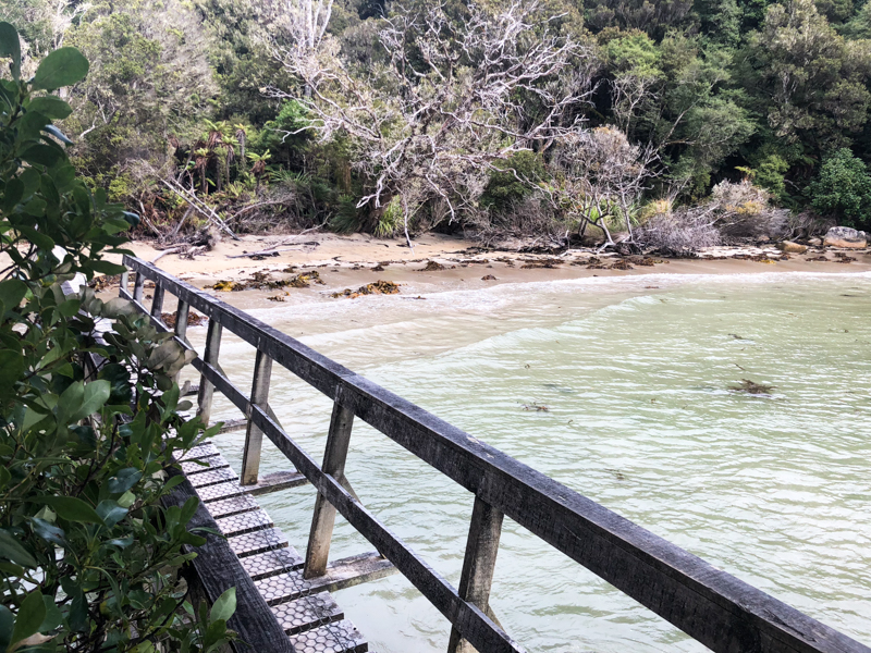
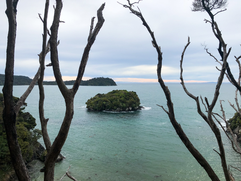
As noted, it's a point to point track, and I've chosen to go counterclockwise (rather, anticlockwise, as they say here). The first section of the track winds from Lee Bay past Maori Beach and to the Port William Hut. There are a couple beach sections, which are more exciting with the tide in, but this whole first third is only 8km long, so it's over pretty quickly.
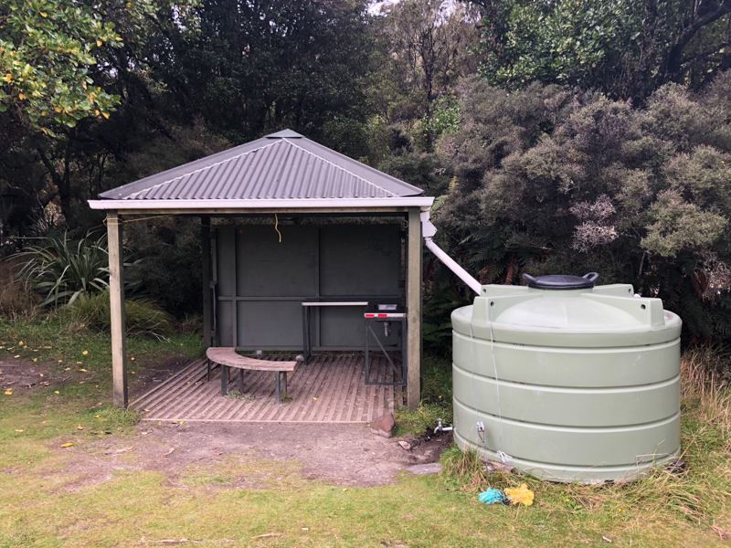
Maori Beach shelter
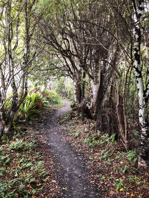
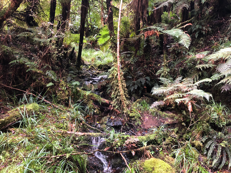
Maori Beach has a tiny shelter, and the Port William Hut is a proper DOC accommodation with features like walls. I drink water through my cupped hands at the hut, have a bite of my bar, and am back underway in about 2 minutes.
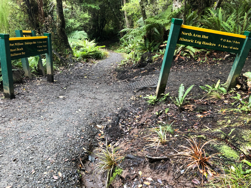
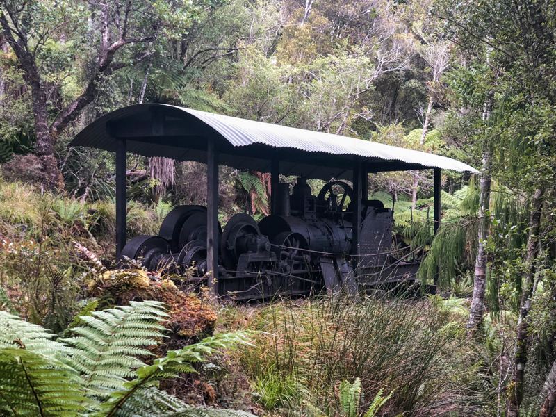
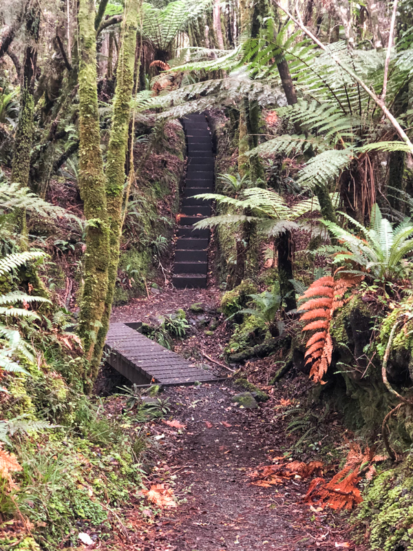
The next section of the track backtracks a tiny bit from Port William Hut to a junction and then goes through the wilds of the island to North Arm Hut. This is the wettest part of the track, and it feels pretty remote, too. It's also the segment with the most elevation change, and at 13km, it's the crux of the whole run. I've got no photos of the muddy bits, because I'm too focused on forward propulsion and not falling into any mud pits to simultaneously work the camera. So you'll just have to take my word for it when I say that it's swampier than an alligator's asscrack.
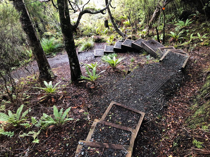
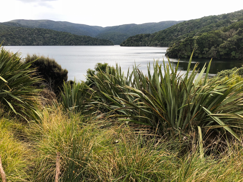
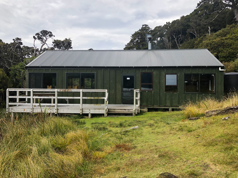
North Arm Hut
North Arm Hut provides me with another few handfuls of water and an excuse for another bite of my bar, and then it's time to disappear into the bush yet again before I get any questions from the trampers that might force me to incriminate myself with regards to my lack of preparedness.
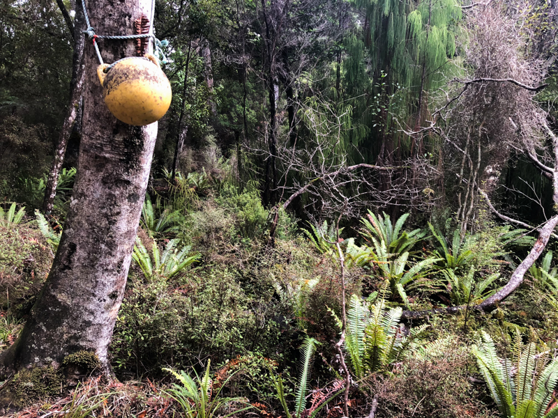
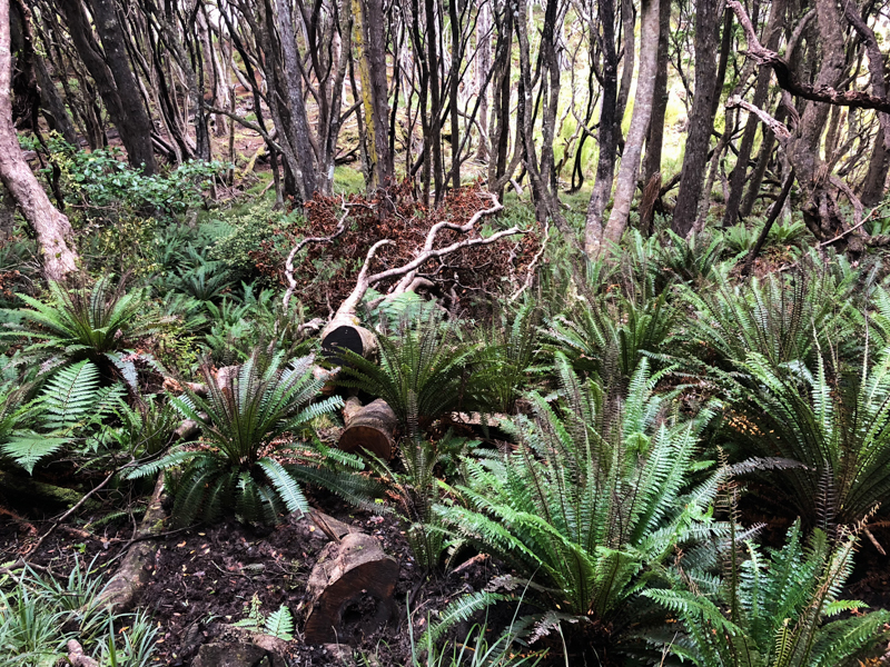
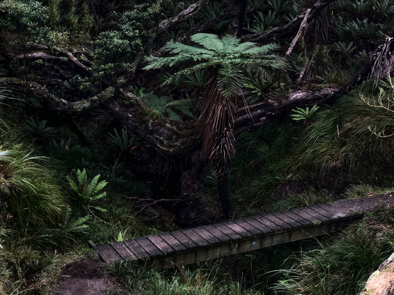
The final section of the track follows on from North Arm Hut and makes its way back towards the main village of Oban, ending in the hills above town and not too far from SZS (I'm testing your goldfish memories).
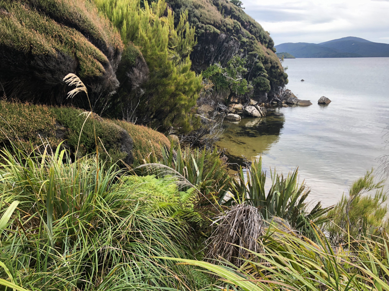
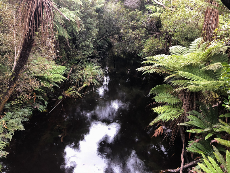
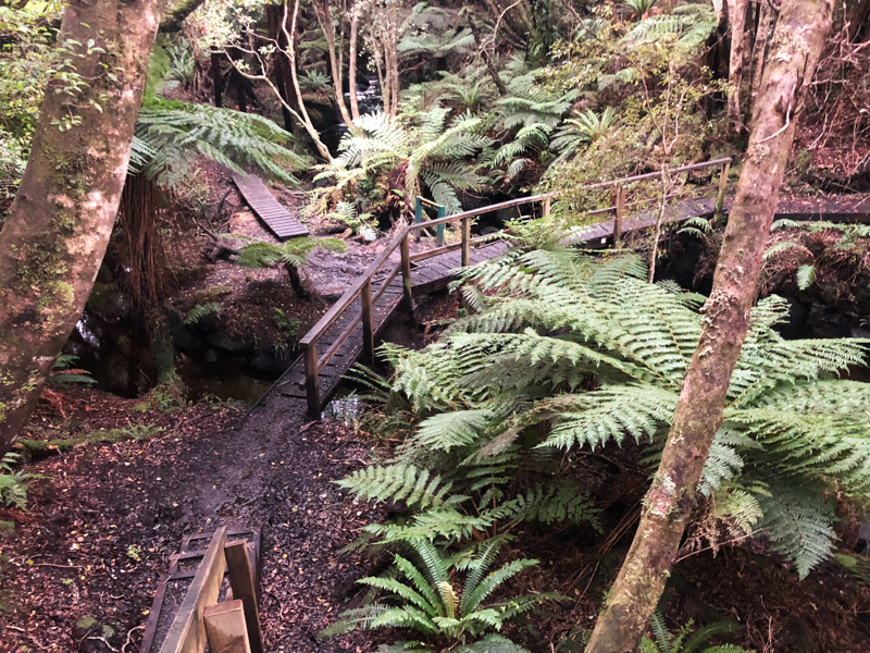
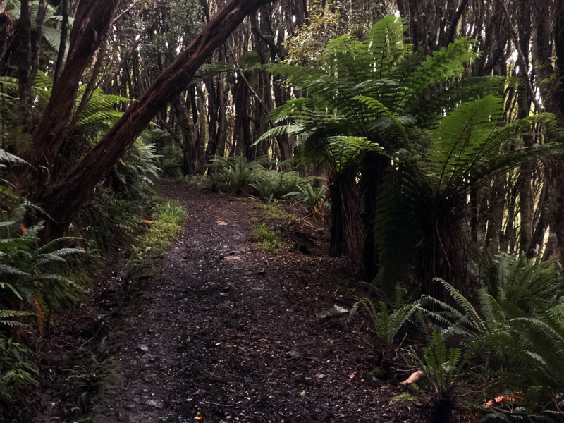
It's only 11km from North Arm Hut to the official end of the track, and it's not quite as swampy, and you also know that it'll be done soon, so it doesn't feel nearly as wild as that middle bit. The last couple of kilometers are on a much wider trail, too, so it's clear that civilization is near.
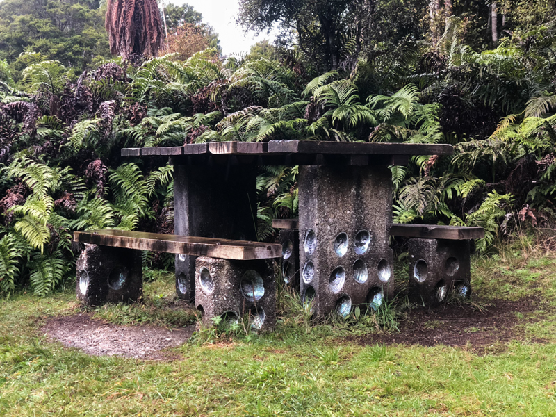
Paua shell bench
It's only a couple of kilometers from the end of the track to town, so that's my cooldown. Murphy has just arrived in town as well, so I lurch towards her with all the grace and aplomb of a zombie and she deftly redirects me into the open door of the pub instead of the ocean, where I'm yet again on the receiving end of more bemused looks.
While I assume that many of the pub's customers arrive muddy and famished, it being Stewart Island and all, I can only assume that they're not typically wearing split running shorts with a 1" inseam. Fortunately, I've reached a point in my life where my propensity for giving a fuck about how I look after a run has been greatly diminished.
So it's a godsend that the pub is open, but we've arrived in that funny time between lunch and dinner, so there's not much on offer. They do, however, have some soup, which is delicious, even when inhaled, and which I accompany with a pint of Speight's, which tastes about like I imagine the blessed nectar of the forest nymphs tastes, although I wouldn't know one way or the other.
----------------
As a nice interlude between the two runs I'm boring you to tears with, it's worth pointing out that we'll find ourselves back at the pub tonight, partially because it's the only joint with food and drink, and partially because it's Quiz Night. We come back with Julius, and since we're half short of the typical 6-person team, we make fast friends with a couple from Invercargill, and we're also eventually joined by Raki.
In a shocking turn of events, we end up third in a fairly competitive field, but this is one of those things where, unlike horseshoes and hand grenades, close counts for nothing, so we're a single question away from winning and a $50 bar tab, and that's probably best for all of us in the long run. Instead, our nightcap is some unsuccessful kiwi hunting (not -that- kind of hunting, thanks), and we fall asleep back at the house to the sound of some proper lashing rain.
----------------
The following day breaks with something of a plan in place, but the morning weather is nicer than expected and the best thing after a long run is obviously to go running again, so I lace up and hobble out on a jog that's noteworthy for no other reason than some sightseeing.
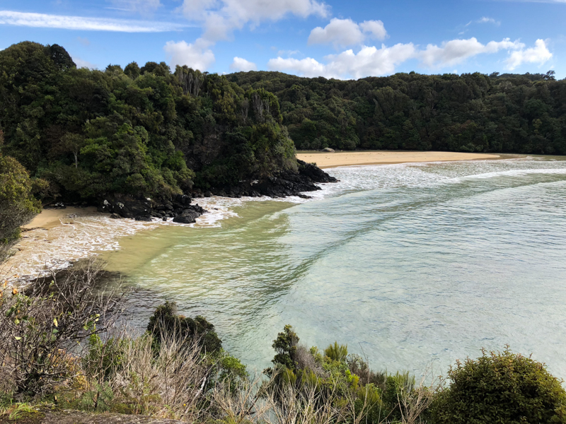
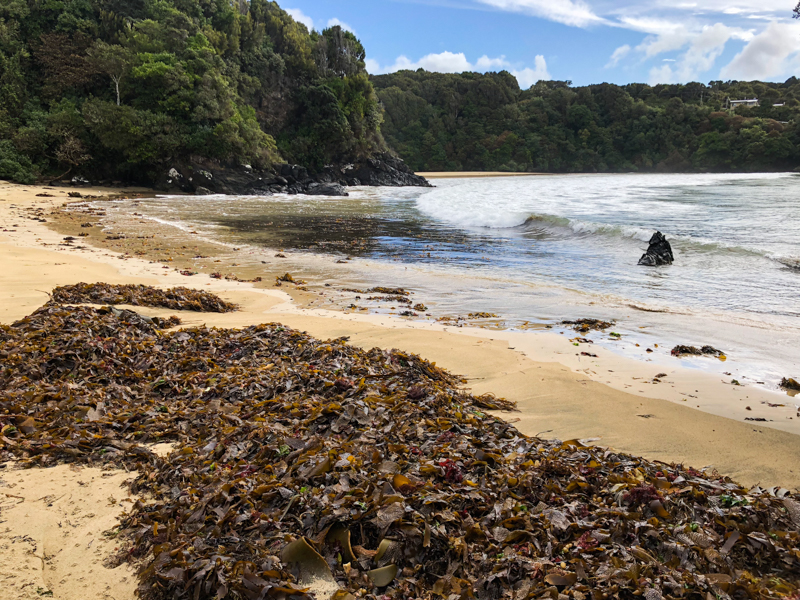
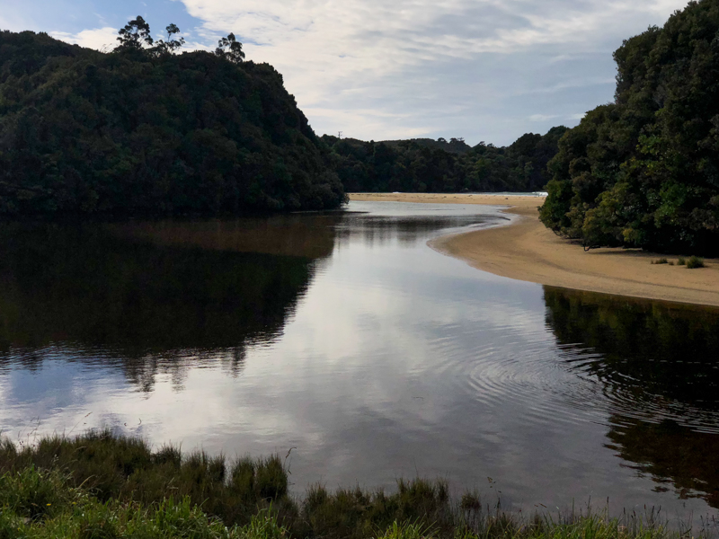
This route takes me from Oban and Halfmoon Bay past Bathing Beach, Butterfield Beach, Bragg Bay, Sarah Cove, and to Dead Man Beach, where it becomes apparent that looping all the way around to Horseshoe Point and Horseshoe Bay is waaaay more than I should sign myself up for, so I waddle home atop jello legs and call it good.
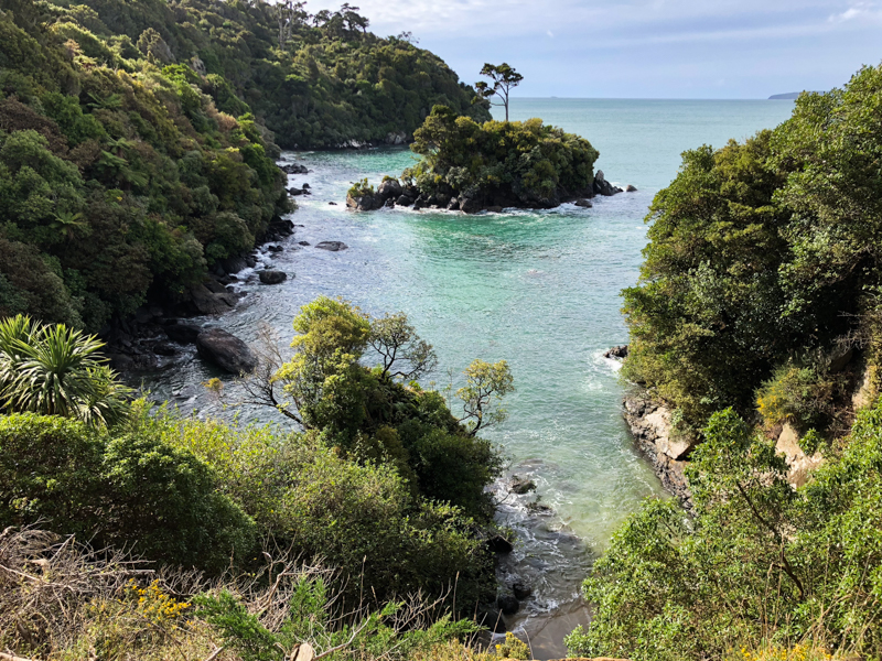
Sarah Cove
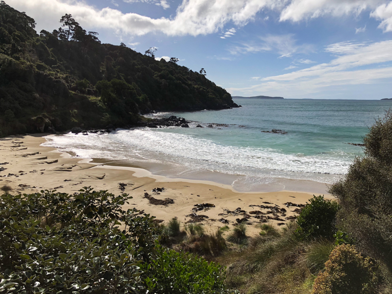
Dead Man Beach
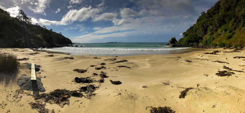
Dead Man Beach again
With a run in the books, the rest of our plans for the day beckon...
-
No comments:
Post a Comment